
| Lac La Biche | |
|---|---|
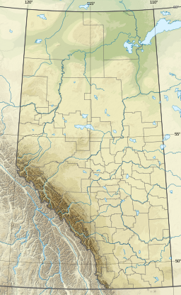
 Lac La Biche in Alberta | |
 Lac La Biche | |
| Location | Lac La Biche County, Alberta |
| Coordinates | 54°51′23″N 112°03′32″W / 54.85639°N 112.05889°W |
| Primary inflows | Owl River |
| Primary outflows | La Biche River |
| Basin countries | Canada |
| Max. length | 20.7 km (12.9 mi) |
| Max. width | 29.3 km (18.2 mi) |
| Surface area | 234 km2 (90 sq mi) |
| Average depth | 8.4 m (28 ft) |
| Max. depth | 21.3 m (70 ft) |
| Surface elevation | 544 m (1,785 ft) |
| Settlements | Lac La Biche, Plamondon, Barnegat, Owl River |
Lac La Biche (/ˌlæk lə ˈbɪʃ/ LAK lə BISH) is a large lake in north-central Alberta, Canada. It is located along the Northern Woods and Water Route, 95 km east of Athabasca. Lac La Biche has a total area of 236 km2 (91 sq mi),[1] including 3.2 km2 (1.2 sq mi) islands area.
YouTube Encyclopedic
-
1/3Views:1 2835921 775
-
Mayor leads parade in Lac la Biche, Alberta
-
Beech 1900D - Lac La Biche Alberta
-
Festival of Speed 2012 - Lac La Biche, Alberta
Transcription
Etymology

The indigenous peoples of the area refer to the lake as Elk Lake (Cree: wâwâskesiwisâkahikan,[2] Chipewyan: tzalith tway).[3] Since the lake shares its name with the town, locals often use the redundant name "Lac La Biche Lake".
Hydrography
Owl River flows into the lake, and its waters are drained through the La Biche River and into the Athabasca River, placing it in the basin that flows to the Arctic Ocean. Just to the south is Beaver Lake which drains into Hudson Bay.
Settlements
The former town and population centre of Lac La Biche is on the southern shore of the lake. The communities of Plamondon, Barnegat and Owl River are also located around Lac La Biche.
Recreation
Sir Winston Churchill Provincial Park is on an island of the lake.
References
- ^ World Lakes Database - Lac La Biche
- ^ "Online Cree Dictionary: ᐋᐧᐋᐧᐢᑫᓯᐃᐧᓵᑲᐦᐃᑲᐣ". Retrieved 2018-09-17.
- ^ Fromhold, Joachim (2001). 2001 Indian Place Names of the West - Part 1. Calgary: Lulu. pp. CCC. ISBN 9780557438365.
| Rivers |  | |
|---|---|---|
| Waterfalls | ||
| Lakes | ||
| Reservoirs | ||
| Glaciers | ||
| Other | ||
This Central Alberta location article is a stub. You can help Wikipedia by expanding it. |