
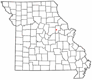
Mineola is an unincorporated community in western Montgomery County, Missouri, United States.[1] The community is located on Missouri Supplemental Route J and is about one mile south from Interstate 70. Montgomery City is approximately six miles north of the community. It is on the east bank of the Loutre River. Graham Cave within Graham Cave State Park is on the north side of I-70 just north of the community[2] and Mount Horeb Baptist Church is approximately 4.5 miles to the southwest.[3]
Mineola was platted in 1879.[4] A post office called Mineola was established in 1881, and remained in operation until 1967.[5] Mineola is a name derived from an unidentified Native American language meaning "healing water".[4]
Graham Cave and Mount Horeb Baptist Church are listed on the National Register of Historic Places.[6]
YouTube Encyclopedic
-
1/1Views:438
-
River Walking in Missouri
Transcription
References
- ^ U.S. Geological Survey Geographic Names Information System: Mineola, Missouri
- ^ Montgomery City, MO, 7.5 Minute Topographic Quadrangle, USGS, 1973 (1986 rev.)
- ^ Readsville, MO, 7.5 Minute Topographic Quadrangle, USGS, 1973 (1986 rev.)
- ^ a b "Montgomery County Place Names, 1928–1945". The State Historical Society of Missouri. Archived from the original on June 24, 2016. Retrieved November 11, 2016.
- ^ "Post Offices". Jim Forte Postal History. Retrieved November 11, 2016.
- ^ "National Register Information System". National Register of Historic Places. National Park Service. July 9, 2010.
Municipalities and communities of Montgomery County, Missouri, United States | ||
|---|---|---|
| Cities |  | |
| Village | ||
| Townships | ||
| CDPs | ||
| Other communities | ||
38°53′17″N 91°34′18″W / 38.88806°N 91.57167°W
This Montgomery County, Missouri state location article is a stub. You can help Wikipedia by expanding it. |